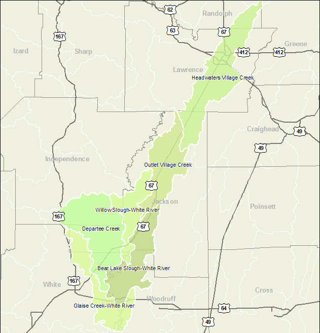
| Arkansas Watersheds > > 8-Digit: 11010013 | Home |
|
||
|
Click here to use the "Find Your Watershed" tool.
Click here for a cross-reference list of the 8-digit HUC names and codes.
Click here for a cross-reference list of the 10-digit HUC names and codes.
Funded by the Arkansas 85th General Assembly through the Arkansas Natural Resources Commission
Copyright © 2006 Center for Advanced Spatial Technologies.